GEOANIMATOR JOURNAL
Animation in Google Earth: Earth Studio or Android App?
How animation in Google Earth works through Earth Studio, and when a map animation app on Android is the faster way to a finished country-highlight video.

In this article9 sections
- 01What is animation in Google Earth?
- 02What Earth Studio does well
- 03When a map animation app is the faster route
- 04Which jobs suit which tool?
- 05Earth Studio vs GeoAnimator side by side
- 06How to make a country highlight animation on Android
- 07Can you use both together?
- 08What to check before you start either one
- 09Frequently asked questions
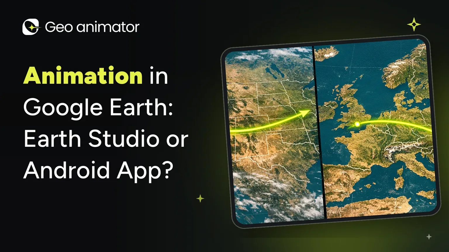
Animation in Google Earth means Google Earth Studio, a separate animation tool built on Earth's satellite and 3D imagery. It makes camera flights over real terrain look cinematic, and it is free. It is also a desktop browser tool with a request-access step, which is a lot of ceremony when all you want is a country lighting up in a vertical clip for your phone.
This post compares the two routes honestly. Earth Studio is the better pick for some jobs, and an Android map animation app such as GeoAnimator is better for others. Facts about Earth Studio below come from Google's own Earth Studio page, read in October 2026.
What is animation in Google Earth?
Animation in Google Earth is done with Earth Studio, a browser-based animation tool that uses Google Earth's satellite and 3D imagery. You set camera keyframes on the globe, such as a start position and an end position, and Earth Studio fills in the flight between them. The result is exported as video or image frames for editing elsewhere.
Google describes it as free and as working with desktop Chrome, and you sign in with a Google account to request access. It supports keyframes, up to five starter templates such as orbits and point-to-point flights, animated attributes like the sun position and field of view, and camera export to Adobe After Effects.
What Earth Studio does well
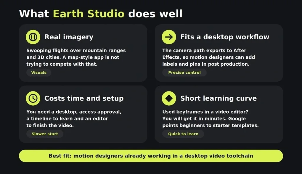
Real imagery is the headline. If your shot is a swooping flight over a mountain range or a city in 3D, a map-style animation app is not trying to compete with that.
It also fits a desktop video workflow. Because the camera path exports to After Effects, motion designers can add labels and pins in post production, which is how Google itself suggests using it. Someone already living in that toolchain gets precise control.
The cost is time and setup. You need a desktop, access approval, a timeline to learn and an editor to finish the video.
One more thing worth knowing: the learning curve is real but short. Anyone who has used keyframes in a video editor will recognise the idea in a few minutes, and Google points to starter templates for people who have not.
When a map animation app is the faster route
Most geography, history and news explainers do not need satellite flights. They need a map where the right country changes color at the right moment and the camera lands on it. That is a different tool, closer to a graphic than a flyover.
GeoAnimator is an Android app built for that: you search for a country or region, highlight it, pick a reveal (Fade, Flood, Wipe or Chase), move the camera with keyframes, add text and pins, and export 16:9, 9:16 or 1:1 straight from your phone. Camera holds (Push, Drift, Orbit) and transitions (Orbit, Arc, Bounce) keep the shot moving.
The editor is the app, so there is no file hop to a separate video program for a simple clip.
That narrow focus is also the limit. GeoAnimator does not offer Earth Studio style photoreal 3D terrain flights, and it does not claim to. If a viewer should feel like they are flying over the Alps, use Earth Studio.
Which jobs suit which tool?
Choose Earth Studio for photoreal terrain flights and desktop finishing in After Effects, and choose a map animation app such as GeoAnimator for country highlights, borders and vertical phone clips. The topic does not decide it. The finished video does, so picture the final shot before you pick software.
Pick Earth Studio when
The shot is a flight over real terrain, a coastline or a city in 3D
You already edit on a desktop and can finish the video in After Effects or similar
You want to animate things like the sun position or the camera field of view
Pick a map animation app when
The story is about countries, regions or borders rather than terrain
The clip is for a phone-first platform and needs a 9:16 export
You want a highlight reveal and a camera move in one place, without moving files between programs
A history teacher showing how an empire grew, or a news explainer on one country, sits firmly in the second group. A travel brand showing a mountain pass sits in the first.
Earth Studio vs GeoAnimator side by side
The table compares what each tool is for, using Google's page for Earth Studio and GeoAnimator's own feature list. Neither is the better tool in general, since they solve different problems.
| Question | Google Earth Studio | GeoAnimator |
|---|---|---|
| Where it runs | Desktop Google Chrome | Android app |
| Imagery | Google Earth satellite and 3D imagery | Map styles inside the app |
| Camera | Keyframes, templates, orbits and point-to-point flights | Keyframes with Push, Drift and Orbit holds, plus Orbit, Arc and Bounce transitions |
| Country highlight with reveal | Not its focus; labels and pins are suggested for post production | Highlight with Fade, Flood, Wipe or Chase |
| Getting started | Sign in and request access | Install from Google Play |
| Finishing the video | Export, then edit elsewhere, for example After Effects | Export from the app in 16:9, 9:16 or 1:1 |
| Cost | Free, per Google | Free tier with a watermark; Pro removes it |
If your job is a flyover of terrain, choose Earth Studio. If your job is a country highlight explainer for social, choose the app.
How to make a country highlight animation on Android
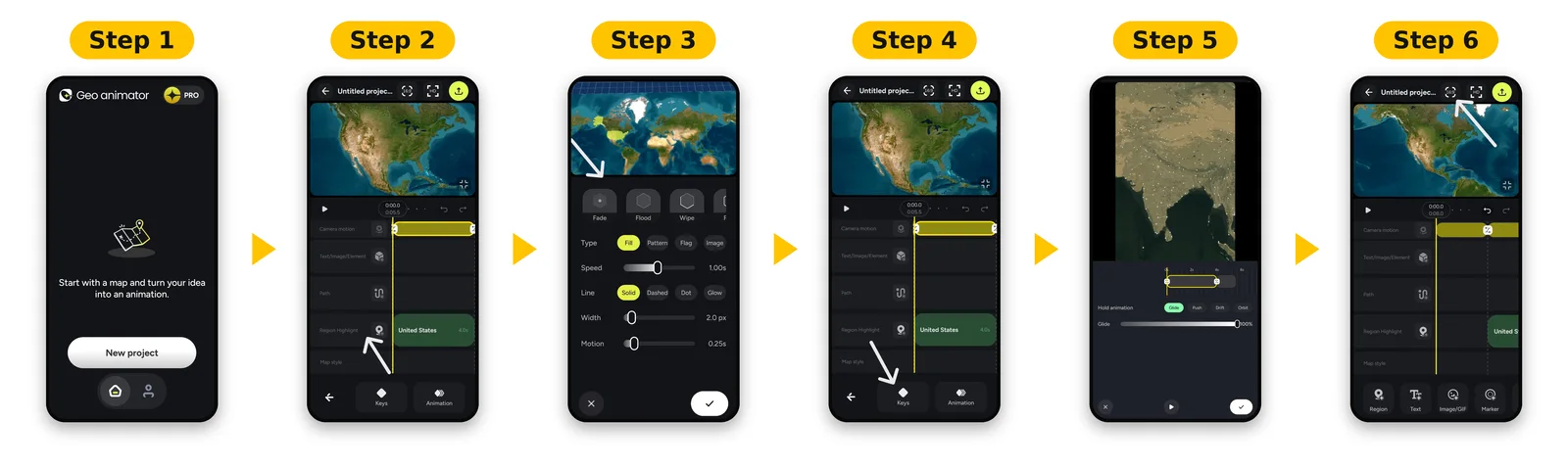
To make a country highlight animation on Android, open GeoAnimator, search for the country, apply a fill color, choose a reveal effect, set a wide camera keyframe and a second keyframe on the country, pick a transition, and export in the ratio your platform needs. A first clip takes a few minutes.
Start a new project and pick a map style. The free tier covers the basics; Pro unlocks all styles.
Search for your country and highlight it with a contrasting fill.
Choose a reveal such as Flood for color that spreads outward.
Set a wide first keyframe, then a tight second keyframe on the country.
Pick Arc or Orbit as the transition and add a short Drift hold at the end.
Export 9:16 for Shorts and Reels, or 16:9 for YouTube.
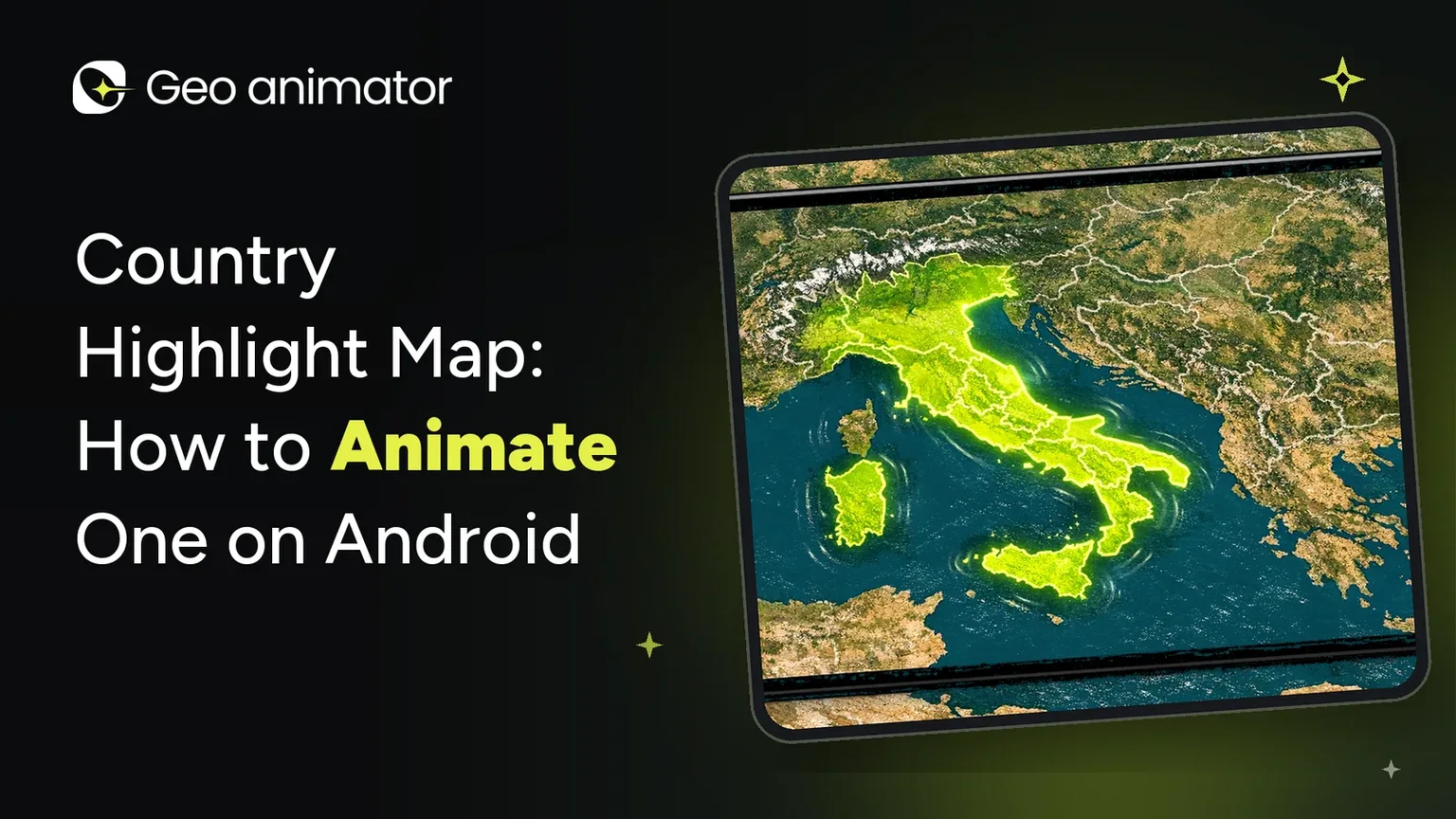
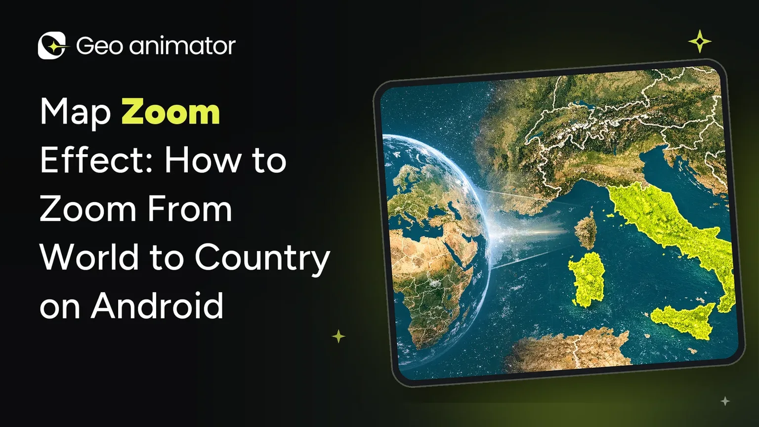
The longer walkthrough, with timing advice, is in the guide to the country highlight map workflow. To go from the world to one country in a single move, see how to zoom from world to country.
Whichever tool you choose, plan the audio and the ending before you render. A map clip with a clear last frame, a label the viewer can read and music that fits the pace feels finished, while one that simply stops feels like a draft. Leaving a few seconds of hold at the end costs nothing and gives viewers time to take in the place you just showed them.
Simple works.
Can you use both together?
Yes, and some creators do. A satellite flyover from Earth Studio can open a video, then a highlighted-map scene explains the facts. They are separate exports, so you join them in whatever editor you normally use. Keep the colors and pacing consistent between the two so the cut does not feel jarring.
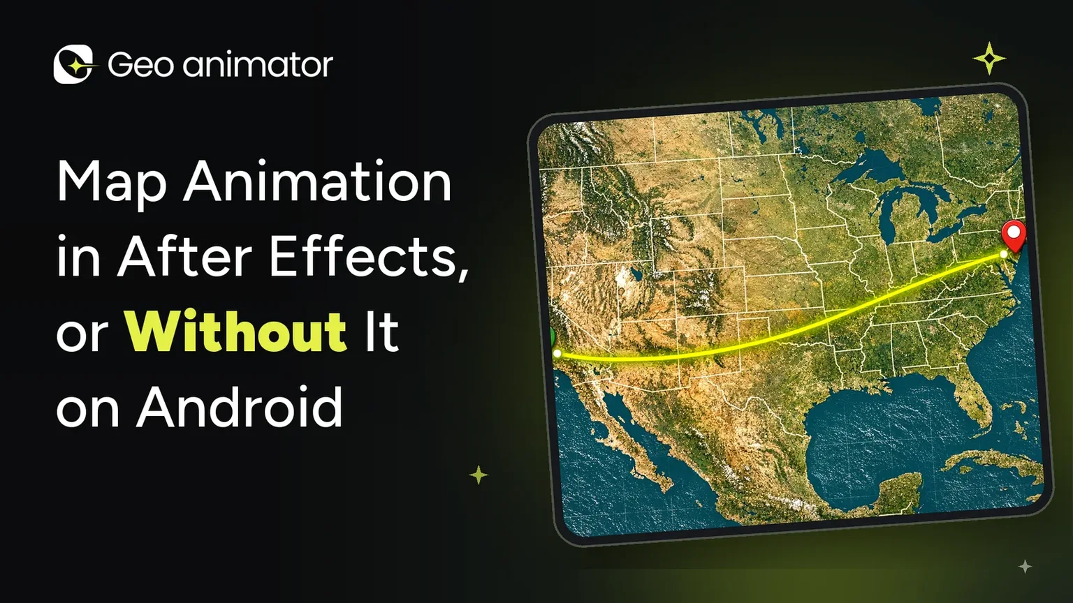
For a pure map explainer, skip the flyover. The alternative to After Effects map workflows shows how much can be done without a desktop timeline, and the GeoAnimator homepage lists the full feature set.
Ready to try the Android route? Get it on Google Play.
What to check before you start either one
Decide the output first.
Vertical clips for phones need a framing that keeps the subject centered, since tall crops cut the sides of wide countries.
Next, check usage terms. Imagery and base maps come with their own conditions, and Google's Earth Studio FAQ is the place to read its rules before you publish commercially. Do the same for any app's base maps.
Finally, keep one clear idea per scene. A single highlighted country with a short label beats a crowded frame, whatever tool made it.
Frequently asked questions
How do I get Google Earth to rotate?
Google Earth Studio can orbit the camera around a point using its orbit template, and you can also build your own rotation with keyframes. Earth Studio needs desktop Chrome and requested access. For a rotating-style move on Android, GeoAnimator offers Orbit transitions and Orbit holds between camera keyframes.
Is Google Earth Studio free?
According to Google's Earth Studio page, read in October 2026, Earth Studio is free to use. It works with the desktop version of Google Chrome, and you sign in with a Google account to request access, so expect a short approval step before you can start animating.
Can I use Google Earth Studio on my phone?
Google says Earth Studio works with desktop Chrome, so it is not made for phones. If you want to build and export map animations directly on an Android phone, GeoAnimator is the app made for that, installed from Google Play.
What is the easiest way to animate a country on a map?
The easiest route is an app that highlights a country and moves the camera for you. In GeoAnimator you search the country, fill it, choose a reveal like Flood or Fade, add two camera keyframes and export, all on Android and without a desktop video editor.
Does Earth Studio export to After Effects?
Yes. Google lists camera export to Adobe After Effects on its Earth Studio page, and it suggests adding map labels and pins in post production, which suits editors who finish their videos on a desktop.
Is GeoAnimator on iPhone?
No, Android only.